Črnuče trails
As announced in the Actifit report yesterday I was exploring around mountain bike trails on the right ridge of Magpie's valley.
Črnuče trails
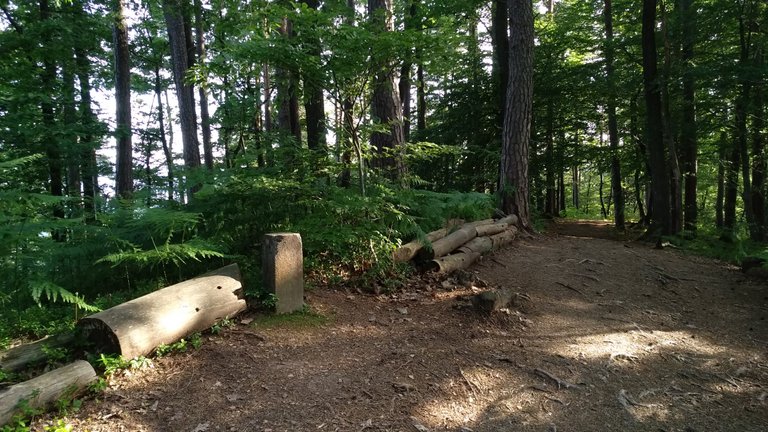
This is the lower entry point to the trails.
Several hundred meters uphill the main entry point for three trails. One of them is a bit easier, supposedly. All paths are named. A will find out about them and tell you more in a special report.
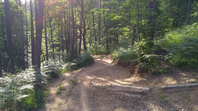
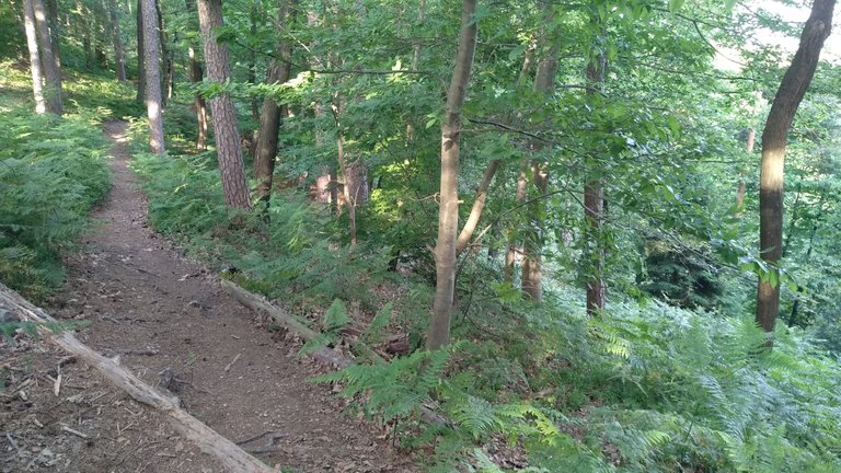
Yesterday I went down the left trail to see how difficult it is.
The start and the first turns are not so steep.
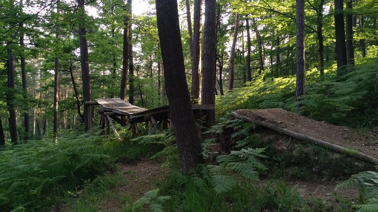
The middle section has some tight turns and nice jumps constructed. Both on the ground and build with planks. Like this one.
More about the trails in a separate report. This one is about the run.
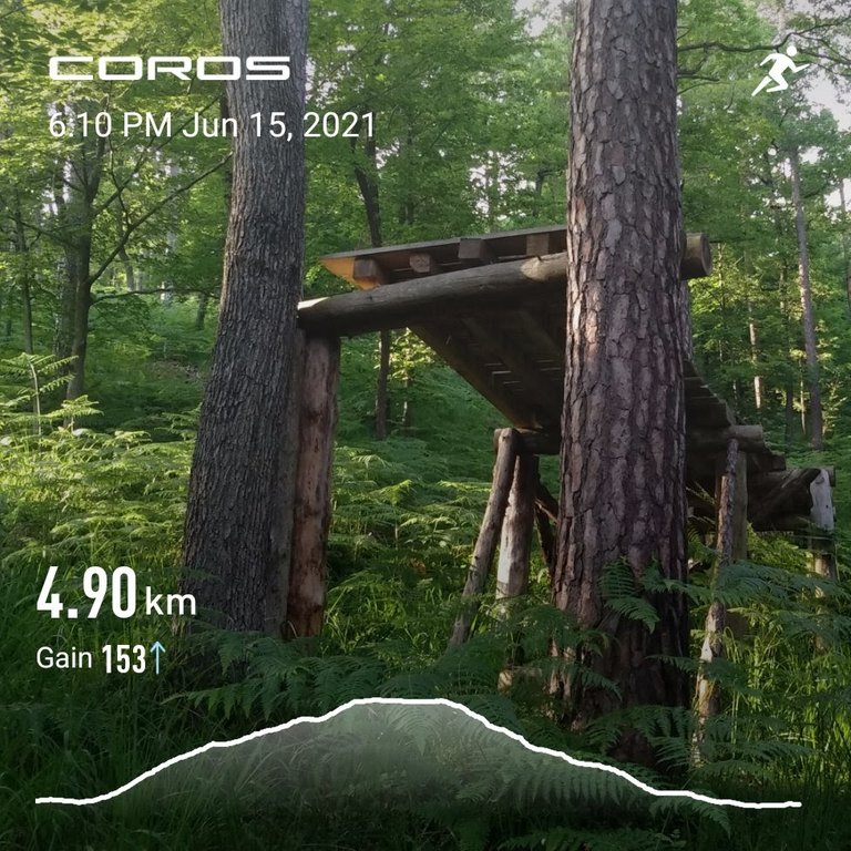
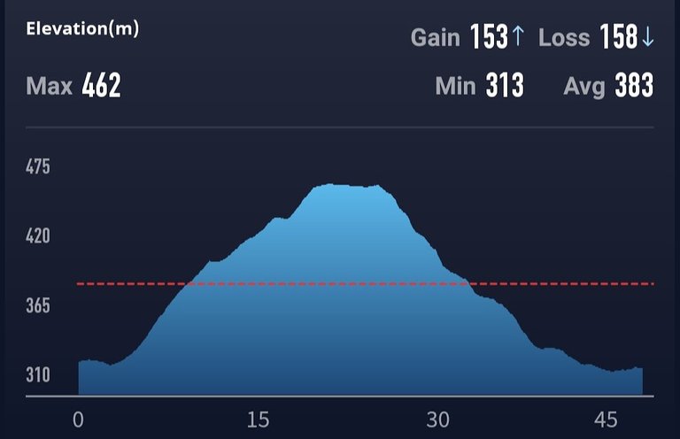
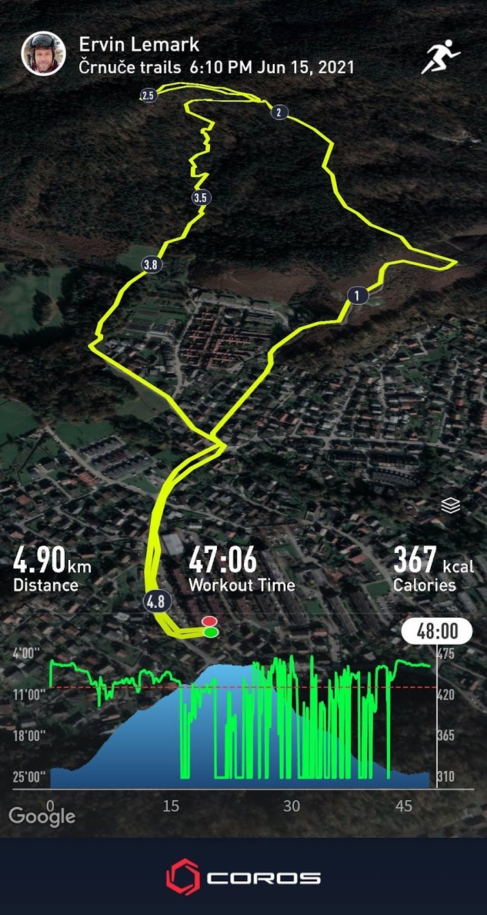
Five kilometers of easy running with lots of stops for taking photos, a climb, a downhill run. 150 meters of climb and drop. It was a nice afternoon spent in the forest and on the trails.
Lower start in just above kilometer 2 while the main start is at 2.5, as you can see from the map.
@pinmapple marks the starting point.
Check out some detailed info at my EXHAUST page
Join me in testing out EXHAUST!
Proof of Run on Strava

All the physical activity data that I display in my @exhaust and @actifit reports is gathered with the help of Coros Pace sports watch and displayed with Coros app.

Congratulations, your post has been added to Pinmapple! 🎉🥳🍍
Did you know you have your own profile map?
And every post has their own map too!
Want to have your post on the map too?
Deep forest, very suitable for trails 💪 😎
Yes, very suitable. Hikers don't use these trails.
Na stara leta se učim mtbajkanja :)